Phil and Molly's Irish Scene HOMEPAGE

HOMEPAGE for all of Phil and Molly's Pics

84. Black Head Loop Walk from Fanore and a limestone pavement scenic drive on the R477 from Doolin to Ballyvaughan via Fanore in the Burren, Murrooghtoohy, Co. Clare

Limestone coastal SCENES from the Wild Atlantic Way of IRELAND

[Author photographer © Dr Phil Brown PhD plus AI help, page updated Mar 13th 2026]

Black Head Loop Walk, Fanore, The Burren

* Doc Brown's Science Website biology chemistry physics *

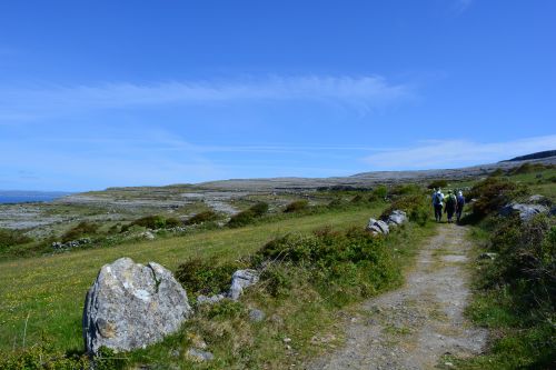
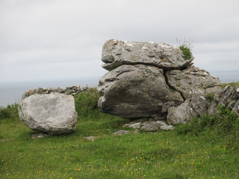
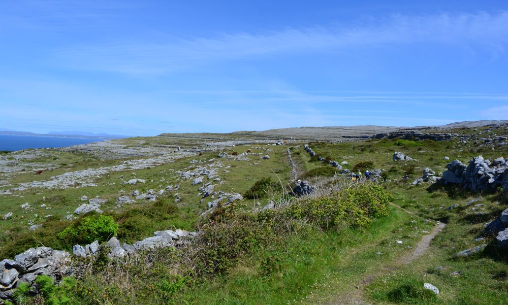
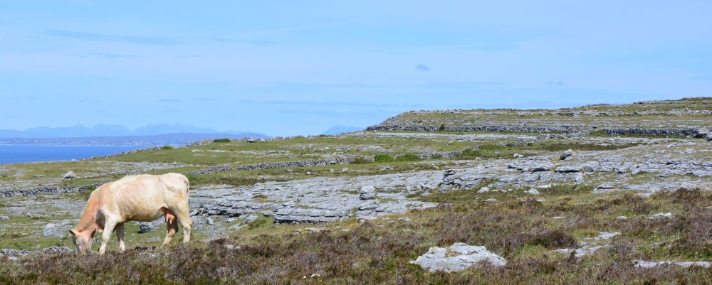
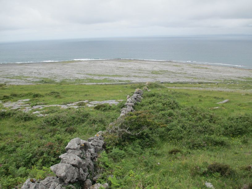
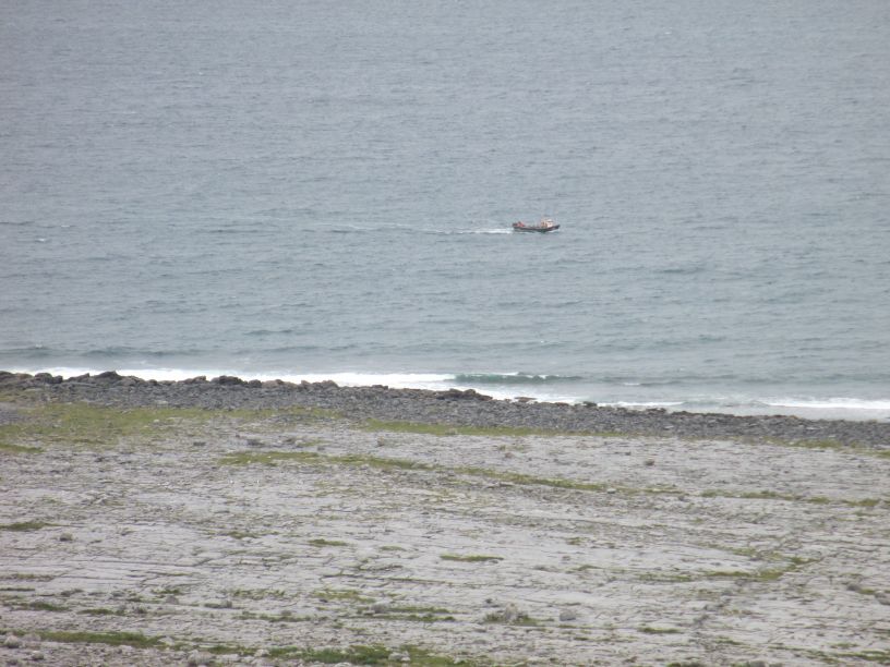
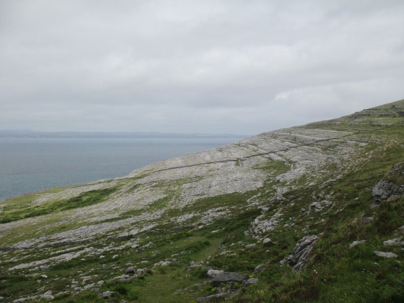
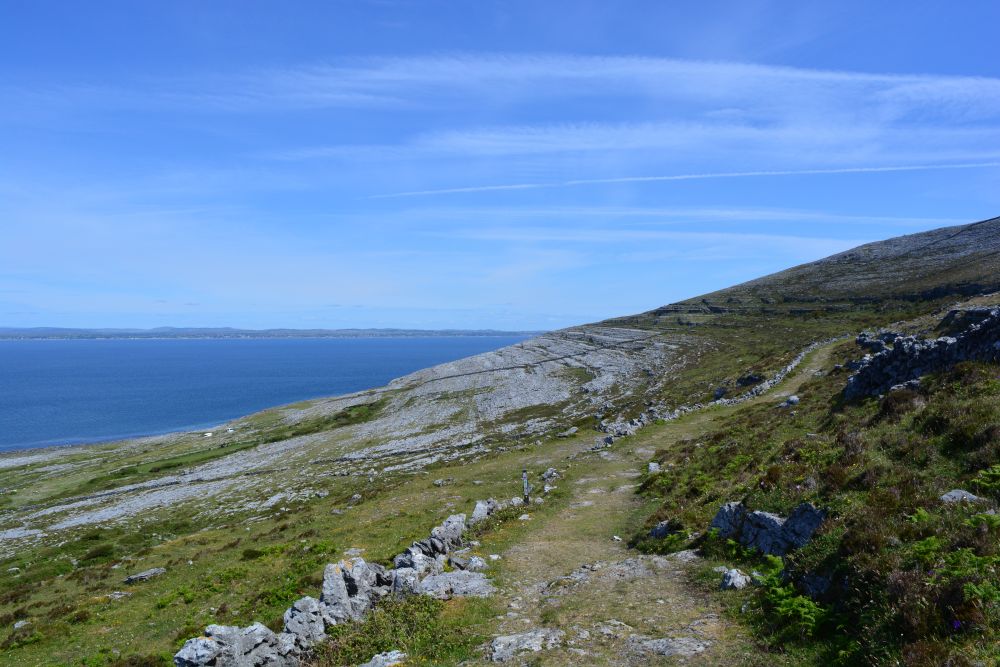
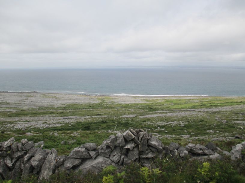
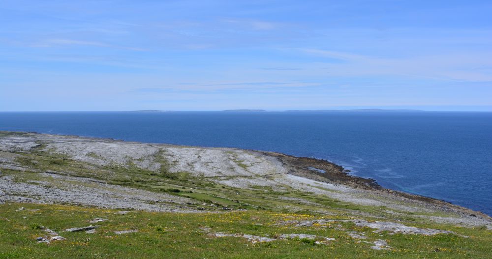
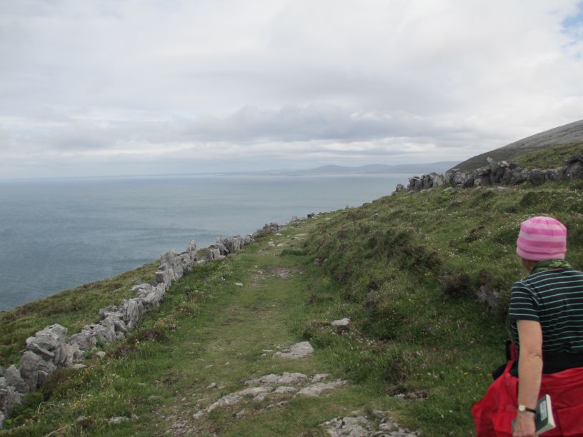
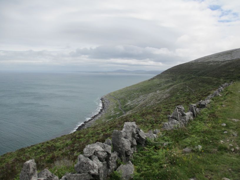
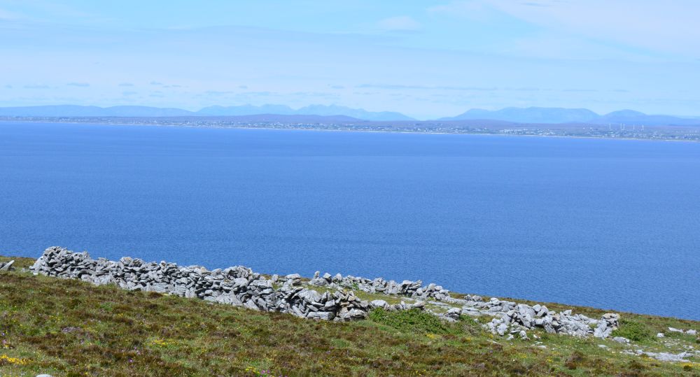
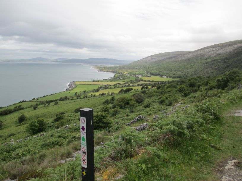
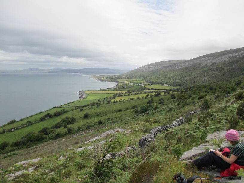
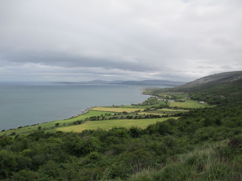
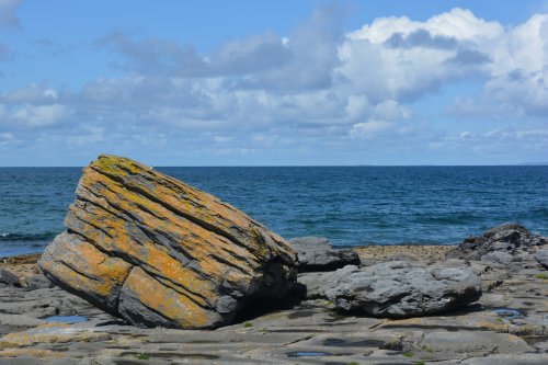
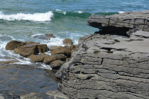
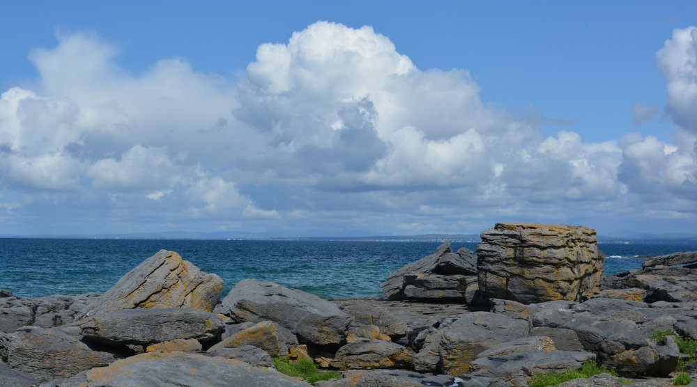
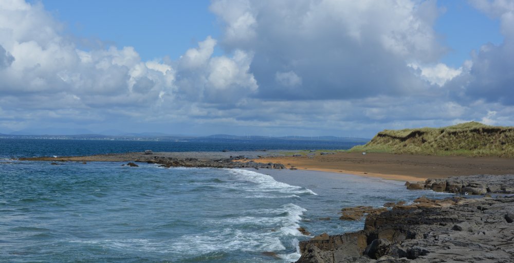
Most of the images are of the first part of the walk overlooking the sea.

We've done the Black Head Loop walk several times, sometimes just doing the first part as a 'there and back' walk without climbing up and doing the complete Black Head Loop. 

On another occasion we walked right over the hills to Ballyvaughan and thumbed a lift back to Fanore, all in error!

Also the fantastic scenic drive from Doolin via Fanore to Ballyvaughan including the Black Head Lighthouse

THE BLACK HEAD LOOP WALK FROM FANORE

Black Head Loop Walk, Fanore, The Burren

The road from Ballyvaughan approaching Black Head


 scenic drive R477 road from Doolin to Ballyvaughan via Fanore, The Burren, Murrooghtoohy, Co. Clare, Ireland


Black Head Loop Walk, Fanore, The Burren Black Head Loop Walk, Fanore, The Burren

*

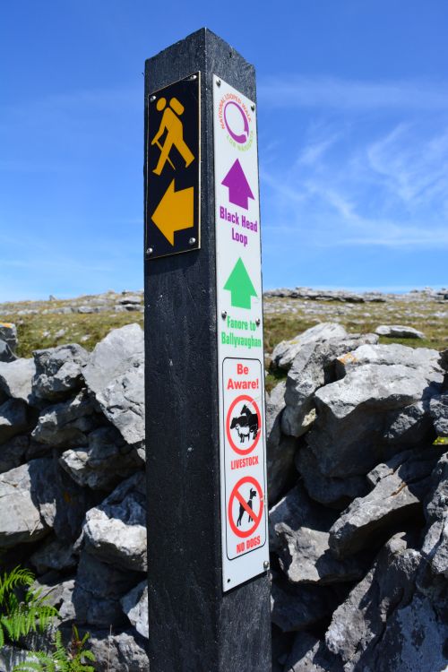
The Black Head Loop from Fanore is one of the Burren’s most rewarding long hikes, combining Atlantic coastline, limestone pavements, ancient green roads, and sweeping views over Galway Bay and the Aran Islands. It’s a demanding route—typically 20–26 km depending on variations—but it offers a complete immersion in the Burren’s geology, archaeology, and wild beauty.


Overview of the Route

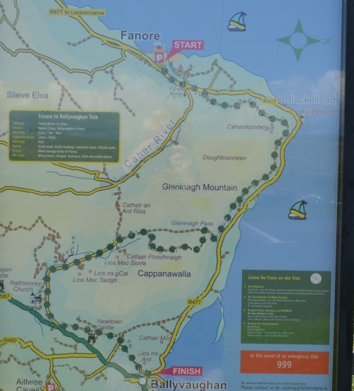
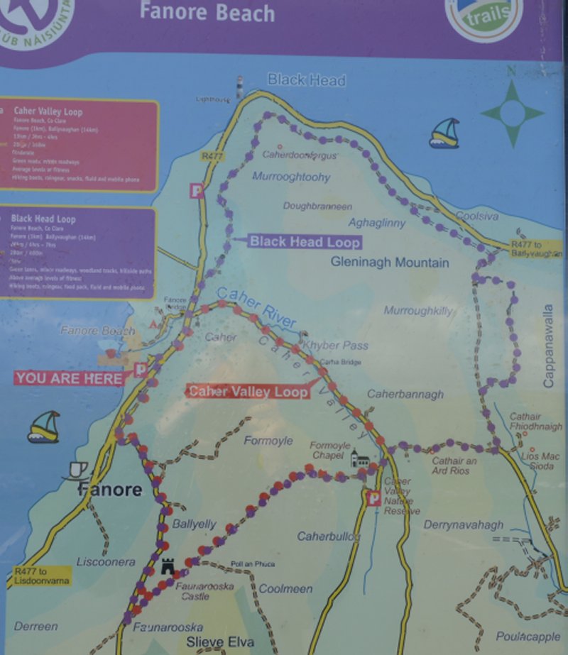
Starting at Fanore Beach car park, the loop climbs steadily from sea level to the high shoulders of Black Head and Cappanwalla, before circling inland through valleys and returning to the coast. The terrain mixes quiet roads, old droving tracks, rocky paths, and classic Burren limestone.

(We actually started from the church near Fanore by the Caher River.)

Key features along the way include:

  • The R477 coastal road with early sea views

  • The old Green Road skirting Black Head

  • The Gleninagh Pass and Feenagh Valley

  • The shoulder of Cappanwalla and Slieve Elva

  • Limestone pavements, dry-stone walls, and ancient field systems

  • Views of Galway Bay, Inis Oírr, and the wider Aran Islands


Section-by-Section Description

1. Fanore Beach → R477 Coastal Road

You begin at the Fanore Beach mapboard and turn left onto the R477. The Atlantic is on your right, with the golden sands of Fanore behind you. The route crosses the Caher River at Fanore Bridge.

2. Climb Toward Black Head on the Old Green Road

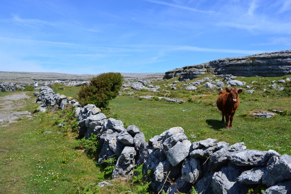
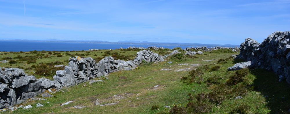
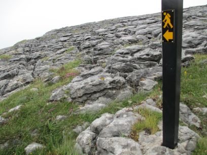
Leaving the road, the trail rises onto an old Green Road, a historic track that winds around the slopes of Black Head. This is where the Burren’s limestone pavements begin to dominate—terraced hillsides, clints and grikes, and wide-open views across Galway Bay.

3. Gleninagh Pass → Feenagh Valley

The path crosses the Gleninagh Pass, a dramatic saddle between the hills, before descending into the Feenagh Valley. This area is rich in archaeology, with prehistoric tombs and early Christian sites scattered across the landscape.

4. Cappanwalla Shoulder → Caher Valley

At a three-way junction, the loop climbs again along the shoulder of Cappanwalla Mountain, passing Caher an Ard Rois. You briefly join the surfaced road of the Caher Valley, one of the Burren’s only true glacial valleys.

5. Green Road to Slieve Elva → Return to Fanore

Another Green Road leads you onto the lower slopes of Slieve Elva, the highest point in the Burren uplands. From here the trail descends gradually toward Ballelly and finally back to Fanore Beach car park, completing the loop.


Landscape, Flora & Fauna

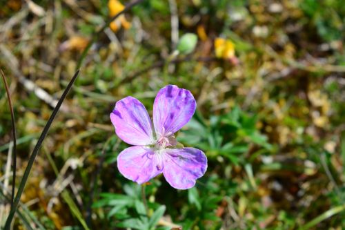
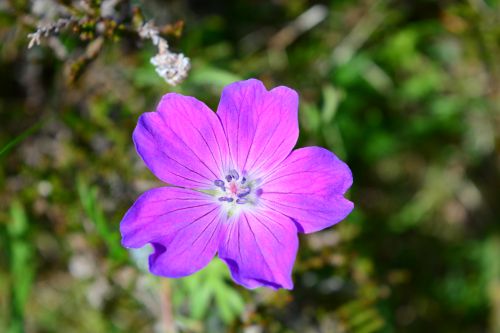
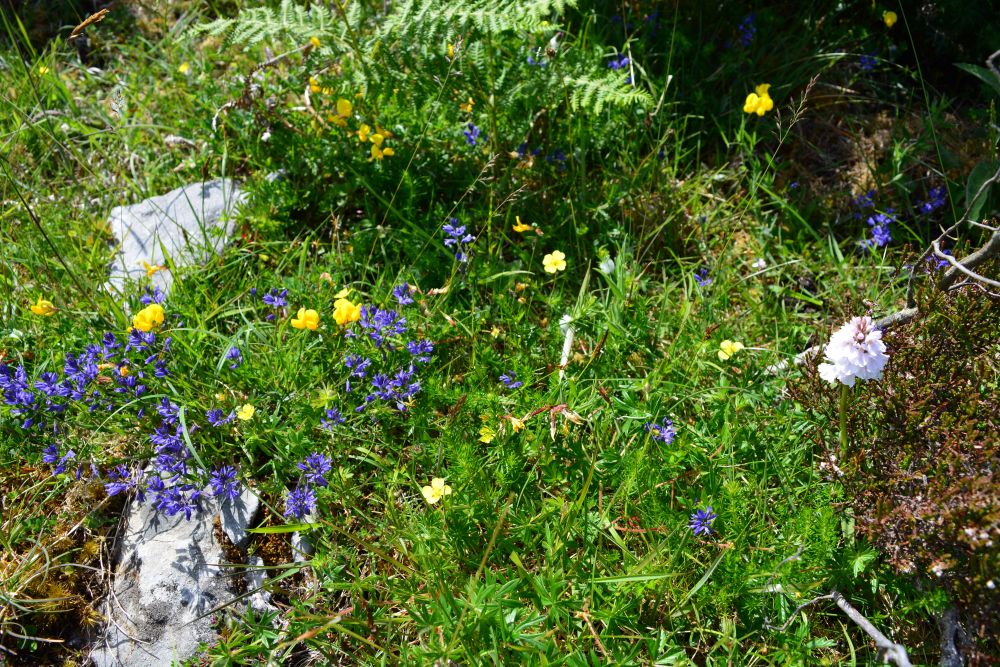
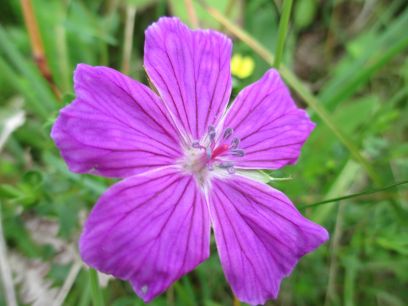
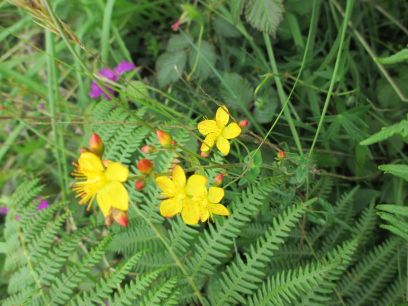
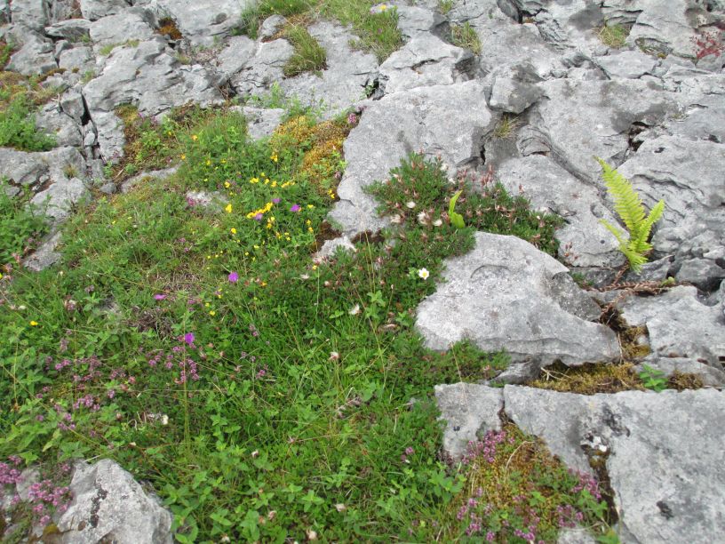
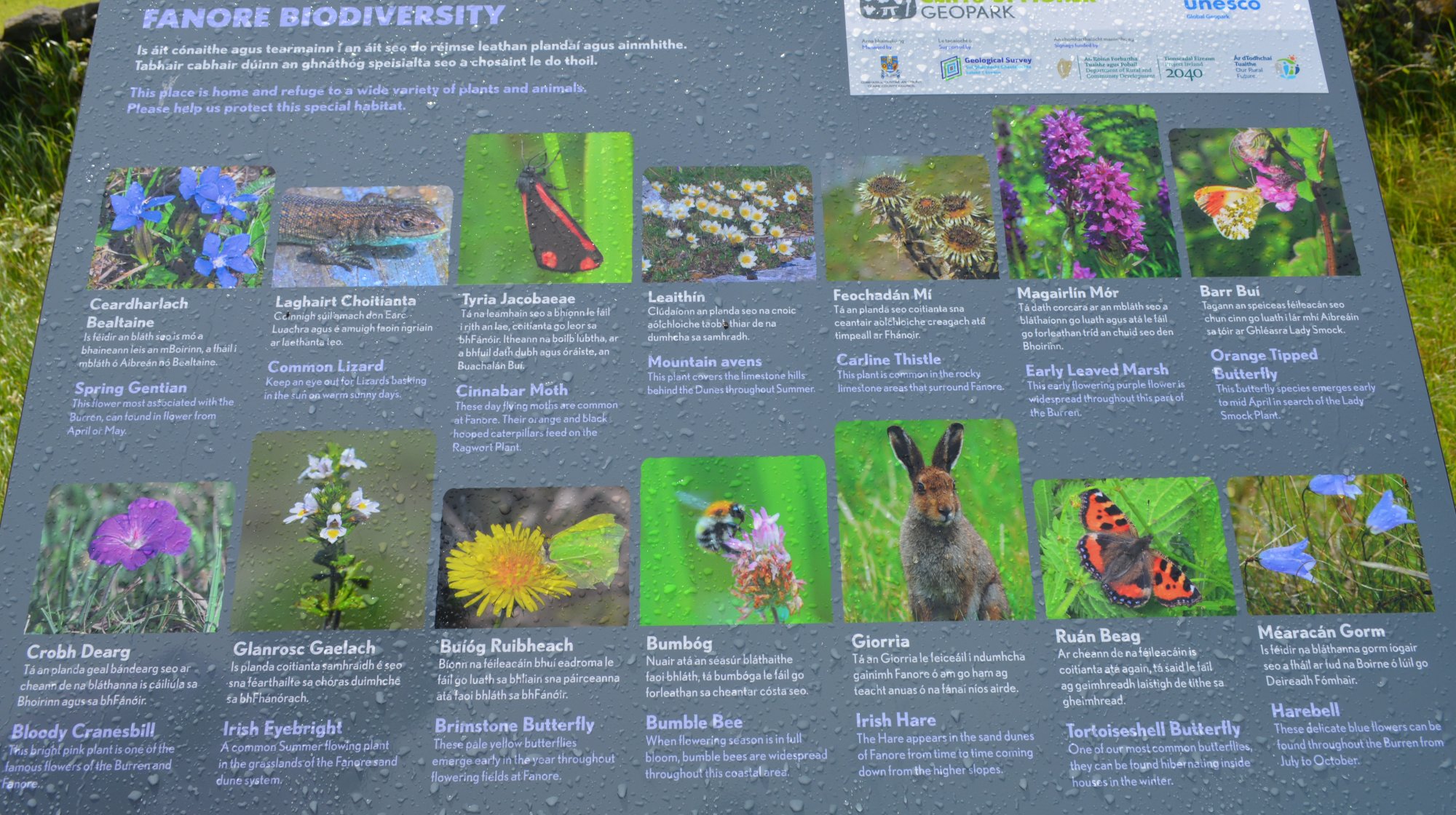
The Burren is famous for its botanical diversity, where Arctic, Alpine, and Mediterranean species grow side by side. Along the loop you may encounter:

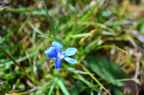
  • Spring gentian

  • Mountain avens

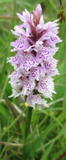
  • Orchids

  • Wild thyme and juniper

Birdlife includes skylarks, peregrines, and choughs, while feral goats and hares are common on the uplands.


Archaeology & Heritage

The area around Black Head is dotted with:

  • Prehistoric field systems

  • Ancient cairns and tombs

  • Early Christian sites

  • Traditional dry-stone walls and farmsteads

These features reflect thousands of years of settlement in a landscape that has changed remarkably little.


Distance, Difficulty & Timing

  • Distance: 20–26 km depending on the variant

  • Duration: 6–8 hours

  • Difficulty: Challenging (long distance, uneven limestone, steep sections)

  • Terrain: Mix of road, rocky paths, limestone pavement, and old tracks

This is a serious day hike requiring good footwear, water, and awareness of weather conditions, which can change quickly in the Burren.


⭐ Why This Walk Stands Out

  • Combines coast, uplands, and valleys in one loop

  • Offers some of the best views in the Burren

  • Rich in archaeology and traditional landscape features

  • A perfect way to experience the Burren’s unique geology and flora

It’s one of the most complete and rewarding long walks in the region.

Black Head Loop Walk, Fanore, The BurrenBlack Head Loop Walk, Fanore, The Burren


Black Head Loop Walk, Fanore, The Burren


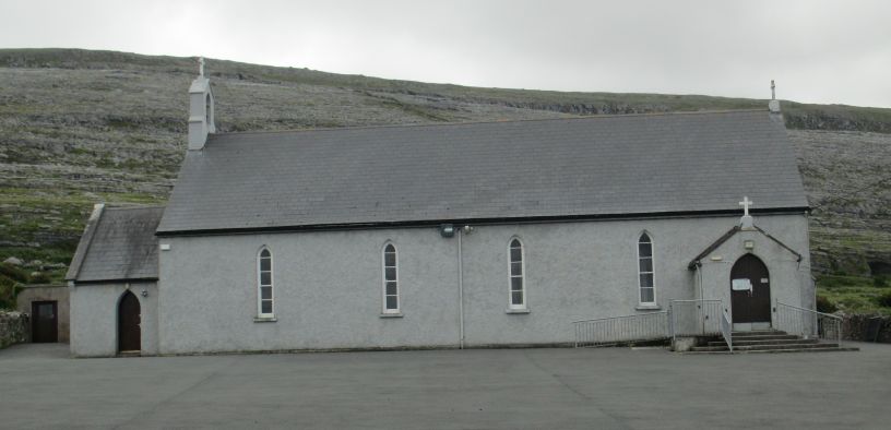
St Patrick's Church by the Caher River near Fanore village Black Head Loop Walk, Fanore, The Burren

St Patrick's Church by the Caher River near Fanore village


Black Head Loop Walk, Fanore, The Burren


Black Head Loop Walk, Fanore, The Burren

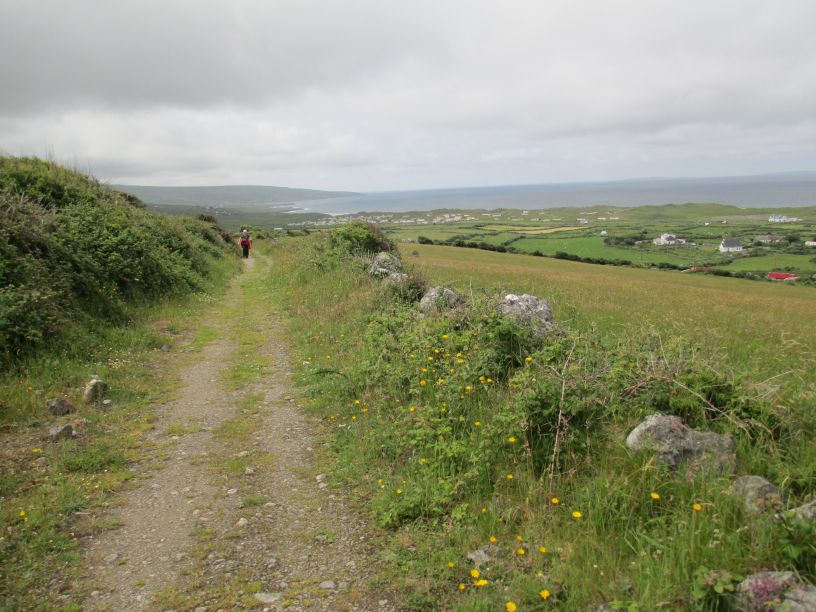
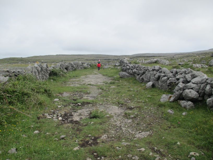
A wonderful track to walk along


Black Head Loop Walk, Fanore, The Burren


Black Head Loop Walk, Fanore, The Burren


Black Head Loop Walk, Fanore, The Burren


Black Head Loop Walk, Fanore, The Burren


Black Head Loop Walk, Fanore, The Burren

*


Black Head Loop Walk, Fanore, The Burren


Black Head Loop Walk, Fanore, The Burren Black Head Loop Walk, Fanore, The Burren Black Head Loop Walk, Fanore, The Burren

*


Black Head Loop Walk, Fanore, The Burren Black Head Loop Walk, Fanore, The Burren


Black Head Loop Walk, Fanore, The Burren

*


Black Head Loop Walk, Fanore, The Burren


Black Head Loop Walk, Fanore, The Burren

*


Black Head Loop Walk, Fanore, The Burren

*


Black Head Loop Walk, Fanore, The Burren Black Head Loop Walk, Fanore, The Burren

*

Black Head Loop Walk, Fanore, The Burren


Black Head Loop Walk, Fanore, The Burren


Black Head Loop Walk, Fanore, The Burren

*


Black Head Loop Walk, Fanore, The Burren

*


Black Head Loop Walk, Fanore, The Burren


Black Head Loop Walk, Fanore, The Burren


Black Head Loop Walk, Fanore, The BurrenBlack Head Loop Walk, Fanore, The Burren

Black Head Loop Walk, Fanore, The BurrenBlack Head Loop Walk, Fanore, The Burren

Black Head Loop Walk, Fanore, The Burren

*


Black Head Loop Walk, Fanore, The BurrenBlack Head Loop Walk, Fanore, The Burren


Black Head Loop Walk, Fanore, The Burren


Black Head Loop Walk, Fanore, The Burren


Black Head Loop Walk, Fanore, The Burren


Black Head Loop Walk, Fanore, The Burren

*


Black Head Loop Walk, Fanore, The Burren

*

Black Head Loop Walk, Fanore, The Burren


Black Head Loop Walk, Fanore, The Burren


Black Head Loop Walk, Fanore, The Burren

*

Black Head Loop Walk, Fanore, The Burren


Black Head Loop Walk, Fanore, The Burren

*

Black Head Loop Walk, Fanore, The Burren


Black Head Loop Walk, Fanore, The Burren

*


Black Head Loop Walk, Fanore, The Burren


Black Head Loop Walk, Fanore, The Burren

*

Black Head Loop Walk, Fanore, The Burren


Black Head Loop Walk, Fanore, The Burren

*

Black Head Loop Walk, Fanore, The Burren


Black Head Loop Walk, Fanore, The Burren


Black Head Loop Walk, Fanore, The Burren


Black Head Loop Walk, Fanore, The Burren


Black Head Loop Walk, Fanore, The Burren


Black Head Loop Walk, Fanore, The Burren


Black Head Loop Walk, Fanore, The Burren

*


Black Head Loop Walk, Fanore, The Burren

Looking towards Ballyvaughan


Black Head Loop Walk, Fanore, The Burren

*


Black Head Loop Walk, Fanore, The Burren Black Head Loop Walk, Fanore, The Burren

*


Black Head Loop Walk, Fanore, The Burren

Black Head in the distance


Black Head Loop Walk, Fanore, The Burren

*


Black Head Loop Walk, Fanore, The Burren

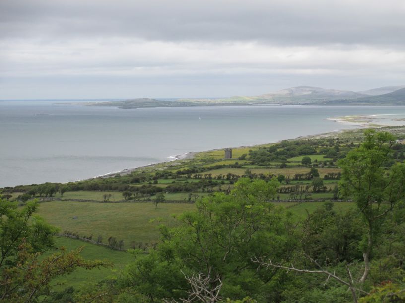
In the distance is a medieval fortified tower on the coast (telephoto shot below). Name ?

Black Head Loop Walk, Fanore, The Burren

Zoom in to an old fortified tower on the coast near Black Head


Black Head Loop Walk, Fanore, The Burren

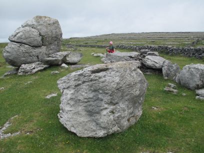
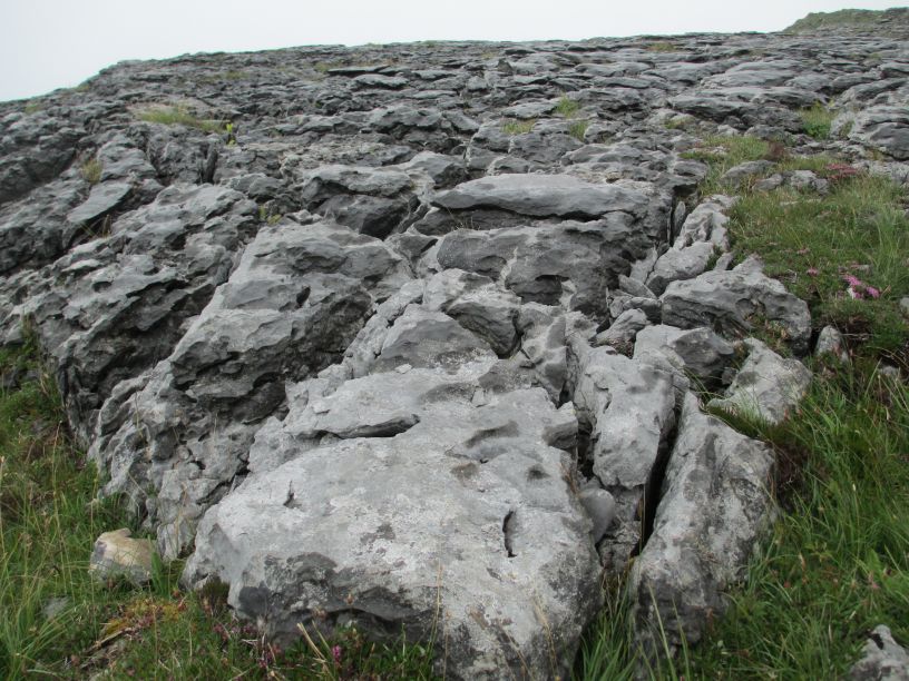
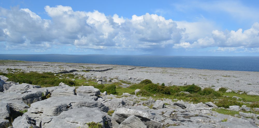
Classic limestone pavement


Black Head Loop Walk, Fanore, The Burren


Black Head Loop Walk, Fanore, The Burren


Black Head Loop Walk, Fanore, The Burren


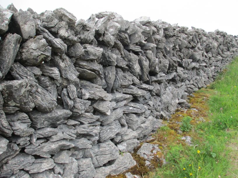
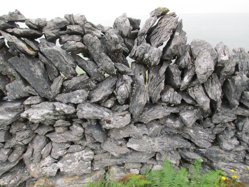
The amazing dry stonewalls of the Burren, designed to let the wind go through to decrease the pressure on the wall, so they stay upright for much longer. Black Head Loop Walk, Fanore, The Burren

The amazing dry stonewalls of the Burren, designed to let the wind go through to decrease the pressure on the wall, so they stay upright for much longer.


Black Head Loop Walk, Fanore, The Burren


Black Head Loop Walk, Fanore, The Burren


Black Head Loop Walk, Fanore, The Burren


Black Head Loop Walk, Fanore, The Burren


Black Head Loop Walk, Fanore, The Burren Black Head Loop Walk, Fanore, The Burren

*

Black Head Loop Walk, Fanore, The Burren


THE SCENIC DRIVE on the R477 ROAD from DOOLIN via FANORE to BALLYVAUGHAN

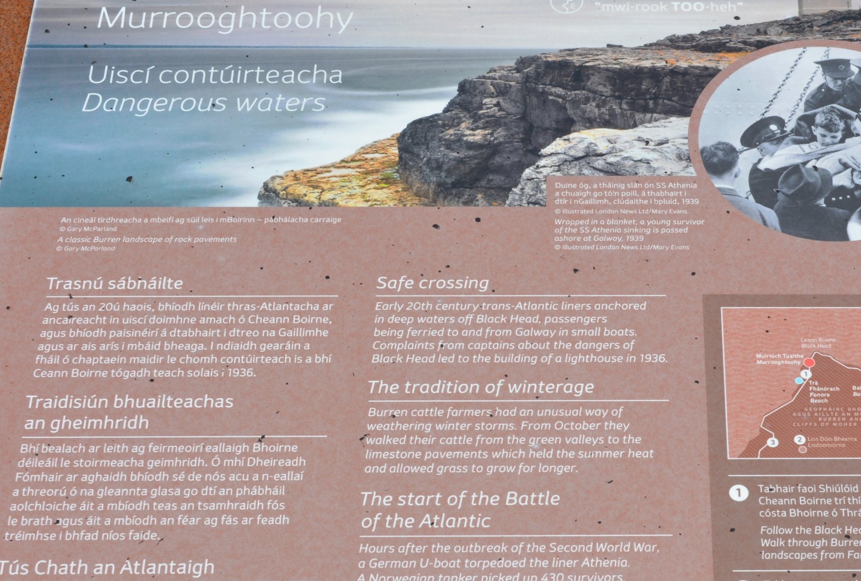
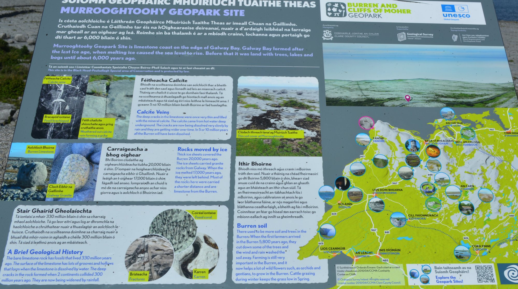
The Murrooghtoohy Geopark information scenic drive R477 road from Doolin to Ballyvaughan via Fanore, The Burren, Murrooghtoohy, Co. Clare, Ireland

 scenic drive R477 road from Doolin to Ballyvaughan via Fanore, The Burren, Murrooghtoohy, Co. Clare, Ireland

The Murrooghtoohy Geopark information


 scenic drive R477 road from Doolin to Ballyvaughan via Fanore, The Burren, Murrooghtoohy, Co. Clare, Ireland


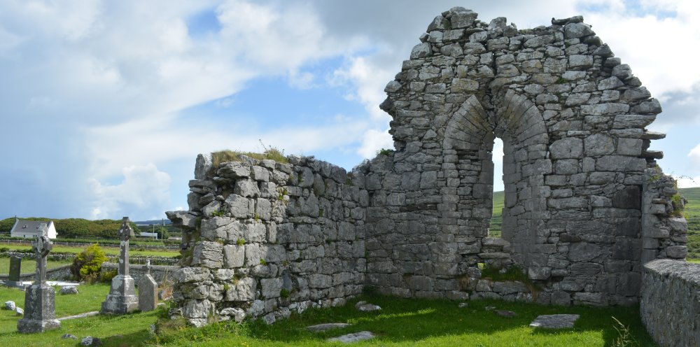
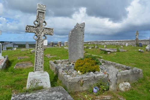
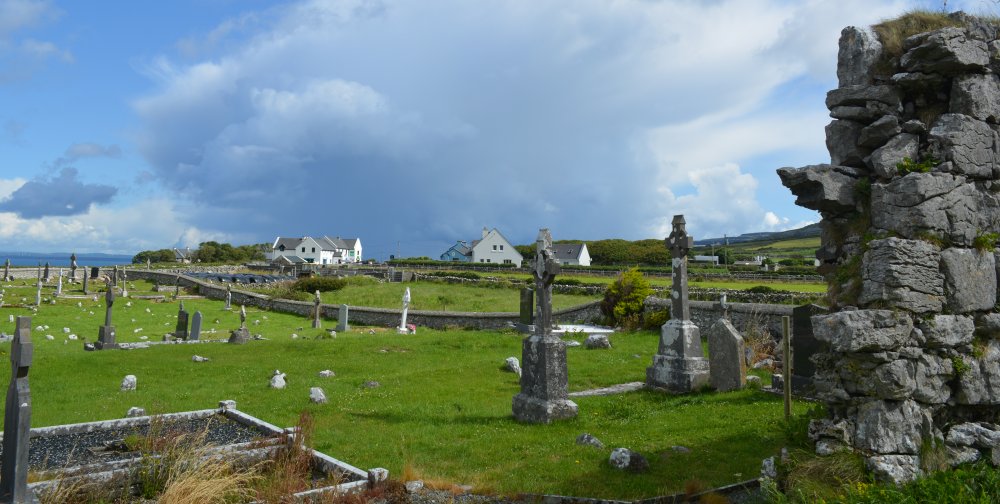
ruined Killonaghan Church or Craggagh Church or Fanore Cemetery, an 11th-century ruined church in the west Burren, Co. Clare.  scenic drive R477 road from Doolin to Ballyvaughan via Fanore, The Burren, Murrooghtoohy, Co. Clare, Ireland

The ruined Killonaghan Church, also known as Craggagh Church or Fanore Cemetery, is a 11th-century ruined church in the west Burren, Co. Clare.

Located near the village of Fanore, it features a ruined east-west layout, a prominent east gable wall with a tall round-headed window, and a surrounding historic graveyard.

Key Details About Killonaghan Church (Fanore):

  • Location: Situated in the Craggagh area, close to Fanore village within the Burren region.

  • Structure: It is an ancient ruin with a very well-preserved east gable wall, which boasts a characteristic splayed window.

  • Graveyard: The cemetery features gravestones, with the earliest legible inscriptions dating back to the 1890s.

 scenic drive R477 road from Doolin to Ballyvaughan via Fanore, The Burren, Murrooghtoohy, Co. Clare, Ireland


 scenic drive R477 road from Doolin to Ballyvaughan via Fanore, The Burren, Murrooghtoohy, Co. Clare, Ireland


Beyond the ruined church is the  village of Fanore scenic drive R477 road from Doolin to Ballyvaughan via Fanore, The Burren, Murrooghtoohy, Co. Clare, Ireland

Beyond the ruined church is the  village of Fanore and in the centre you can just make out the blue building of the O'Donohue's Pub, a well known stopping off point on the R477 coast road!

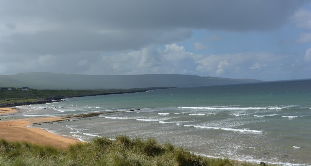
Fanore is a small, strikingly beautiful coastal village on the north‑western edge of the Burren, shaped by its Atlantic setting, its long sandy beach, and the limestone hills that rise immediately behind it.

Its Irish name, Fán Óir or Fánóir, meaning “the golden slope”, reflects both the colour of its dunes and its position between sea and mountain.


Setting and Landscape

Fanore sits where the Caher River—the only river in the Burren that flows entirely above ground—meets the Atlantic. The village stretches along the R477 coastal road between Ballyvaughan and Doolin, with wide views of Galway Bay and the Aran Islands. It is sometimes described as one of the longest villages in Europe, reflecting its linear layout along the coast.

The surrounding Burren landscape is a defining feature: grey limestone terraces, wildflowers, dry‑stone walls, and upland slopes that rise quickly from the shoreline.


Fanore Beach

Fanore is best known for its Blue Flag beach, a long sweep of golden sand backed by an extensive dune system known locally as the Rabbit Warren.
Key features include:

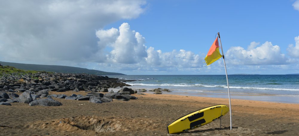
  • Lifeguard patrols in summer

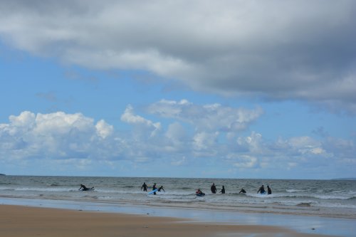
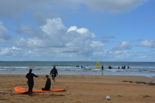
  • A surf school (Aloha) and good conditions for experienced surfers

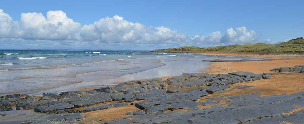
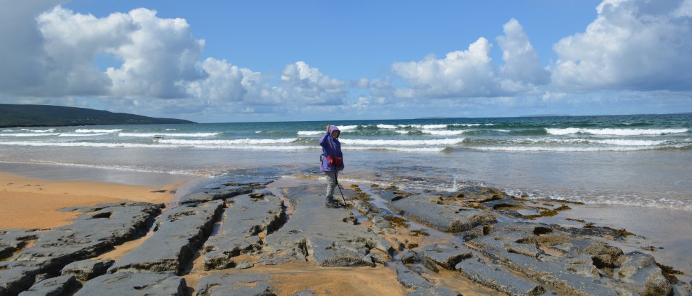
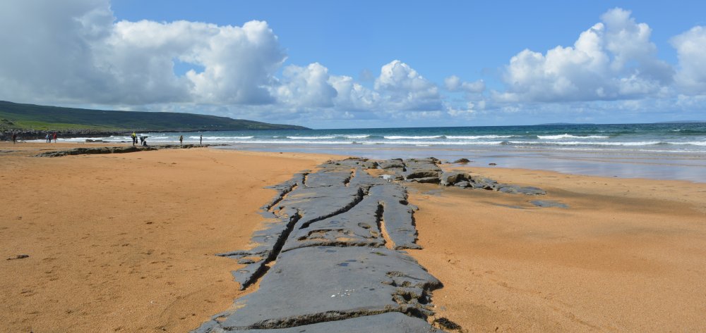
  • Limestone shelves exposed at low tide

  • Views across Galway Bay to the Aran Islands

The beach is one of the most popular swimming and walking spots in north Clare and a Discovery Point on the Wild Atlantic Way.


Pub, Shops & Local Amenities

Fanore is small, but it has a warm, community‑centred feel.

  • O’Donohue’s Pub (often simply “O’Donohue’s”) is the village’s social hub, offering food, drink, and occasional music sessions.

  • A local shop and café near the beach serves walkers, surfers, and campers.

  • Accommodation options include B&Bs, holiday rentals, and a nearby campsite.

The village’s scale means everything is within easy walking distance, with the beach, pub, and shop forming the core of local life.


Churches and Community

Fanore’s main church is St. Patrick’s Church, serving the local Catholic community. The wider parish links Fanore with the surrounding rural townlands of the Burren. As with many small west‑coast villages, the church acts as a focal point for community gatherings, festivals, and local heritage.


Walks and Outdoor Activities

Fanore is one of the best bases for exploring the Burren on foot.

  • The Caher Valley Loop is a 14 km waymarked trail following green roads, lanes, and the Caher Valley itself, offering classic Burren scenery and views of the Aran Islands.

  • The Black Head Loop begins in Fanore and climbs into the high Burren uplands, passing ancient trackways, limestone pavements, and dramatic viewpoints.

  • The area is also popular for rock climbing, cycling, and nature photography.


History of Fanore

Early and Medieval Context

Fanore lies within the historic territory of the Burren, an area inhabited since prehistoric times. While Fanore itself is a small modern village, the surrounding landscape contains:

  • Prehistoric field systems

  • Ancient cairns and tombs

  • Early Christian sites

  • Traditional farmsteads and stone walls

The Caher Valley, which leads inland from the village, is one of the Burren’s finest examples of a glacial valley and has been used for farming and seasonal grazing for centuries.

Gaeltacht Heritage

Fanore was officially part of the West Clare Gaeltacht—an Irish‑speaking region—until 1956, and Irish place‑names and traditions remain strong.

Modern Development

The village grew around its beach, river crossing, and coastal road. Its reputation as a scenic, peaceful location has made it a favourite with walkers, naturalists, and visitors exploring the Burren and the Wild Atlantic Way. Despite increasing tourism, Fanore has retained its quiet, rural character.


⭐ Why Fanore Stands Out

  • A rare combination of beach, river, and karst landscape in one place

  • Gateway to some of the best walking routes in the Burren

  • A peaceful, authentic village with a strong sense of place

  • Outstanding views of Galway Bay and the Aran Islands

  • Rich natural and cultural heritage

If you’re exploring the Burren, Fanore offers both tranquillity and immediate access to some of the region’s most dramatic scenery.

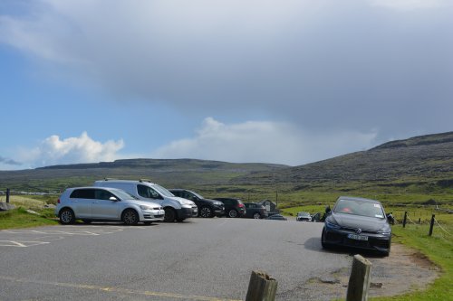
Car park for Fanore Beach scenic drive R477 road from Doolin to Ballyvaughan via Fanore, The Burren, Murrooghtoohy, Co. Clare, Ireland Life guard and surfing centre for Fanore Beach scenic drive R477 road from Doolin to Ballyvaughan via Fanore, The Burren, Murrooghtoohy, Co. Clare, Ireland

 scenic drive R477 road from Doolin to Ballyvaughan via Fanore, The Burren, Murrooghtoohy, Co. Clare, Ireland


Fanore biodiversity information scenic drive R477 road from Doolin to Ballyvaughan via Fanore, The Burren, Murrooghtoohy, Co. Clare, Ireland


 scenic drive R477 road from Doolin to Ballyvaughan via Fanore, The Burren, Murrooghtoohy, Co. Clare, Ireland


 scenic drive R477 road from Doolin to Ballyvaughan via Fanore, The Burren, Murrooghtoohy, Co. Clare, Ireland


 scenic drive R477 road from Doolin to Ballyvaughan via Fanore, The Burren, Murrooghtoohy, Co. Clare, Ireland


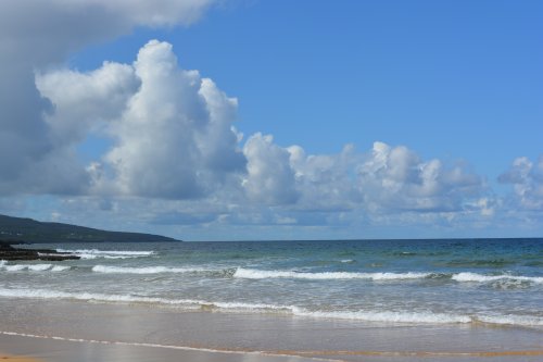
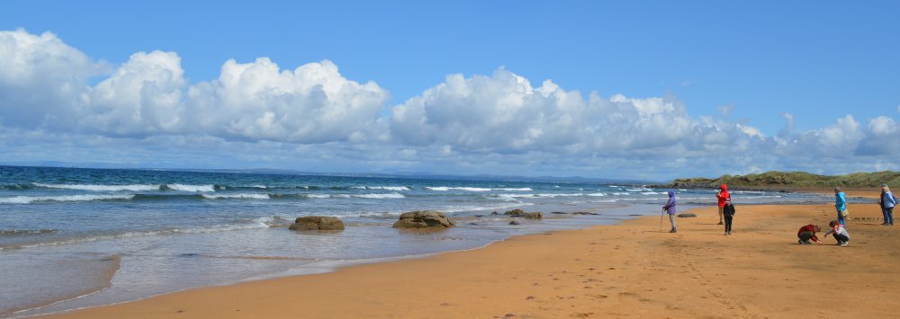
Fanore Beach a great short walk scenic drive R477 road from Doolin to Ballyvaughan via Fanore, The Burren, Murrooghtoohy, Co. Clare, Ireland

A great short walk on Fanore Beach.


 scenic drive R477 road from Doolin to Ballyvaughan via Fanore, The Burren, Murrooghtoohy, Co. Clare, Ireland


 scenic drive R477 road from Doolin to Ballyvaughan via Fanore, The Burren, Murrooghtoohy, Co. Clare, Ireland


 scenic drive R477 road from Doolin to Ballyvaughan via Fanore, The Burren, Murrooghtoohy, Co. Clare, Ireland


 scenic drive R477 road from Doolin to Ballyvaughan via Fanore, The Burren, Murrooghtoohy, Co. Clare, Ireland


 scenic drive R477 road from Doolin to Ballyvaughan via Fanore, The Burren, Murrooghtoohy, Co. Clare, Ireland  scenic drive R477 road from Doolin to Ballyvaughan via Fanore, The Burren, Murrooghtoohy, Co. Clare, Ireland


 scenic drive R477 road from Doolin to Ballyvaughan via Fanore, The Burren, Murrooghtoohy, Co. Clare, Ireland


 scenic drive R477 road from Doolin to Ballyvaughan via Fanore, The Burren, Murrooghtoohy, Co. Clare, Ireland


 scenic drive R477 road from Doolin to Ballyvaughan via Fanore, The Burren, Murrooghtoohy, Co. Clare, Ireland

Weather on the change, but quickly blew over!


 scenic drive R477 road from Doolin to Ballyvaughan via Fanore, The Burren, Murrooghtoohy, Co. Clare, Ireland Learning surfing on Fanore Beach. scenic drive R477 road from Doolin to Ballyvaughan via Fanore, The Burren, Murrooghtoohy, Co. Clare, Ireland

Learning surfing on Fanore Beach.


 scenic drive R477 road from Doolin to Ballyvaughan via Fanore, The Burren, Murrooghtoohy, Co. Clare, Ireland


 scenic drive R477 road from Doolin to Ballyvaughan via Fanore, The Burren, Murrooghtoohy, Co. Clare, Ireland


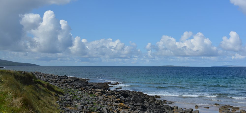
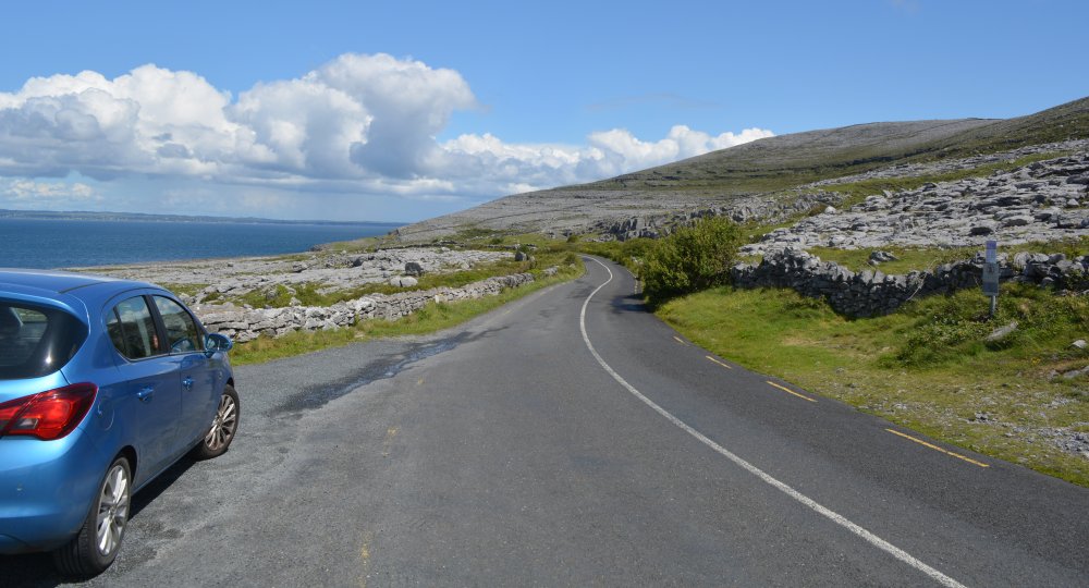
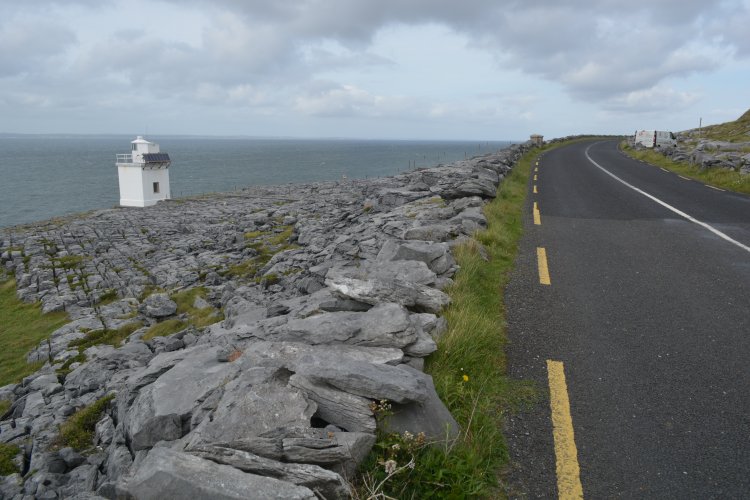
The wonderfully scenic R477 road beyond Fanore and heading for Black Head and on to Ballyvaughan scenic drive R477 road from Doolin to Ballyvaughan via Fanore, The Burren, Murrooghtoohy, Co. Clare, Ireland

The wonderfully scenic R477 road beyond Fanore and heading for Black Head and its lighthouse and on to Ballyvaughan.


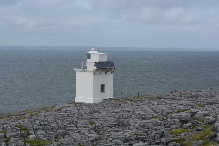
Black Head Lighthouse, just off the R477 road between Fanore and ballyvaughan

Black Head lighthouse, Co. Clare, Ireland

History and significance of the Black Head lighthouse

Black Head Lighthouse in County Clare is a small but culturally significant 20th‑century lighthouse built to guide ships entering Galway Bay, set dramatically on the Burren’s limestone pavements beside the R477. Its history is unusually well‑documented, and its importance lies in maritime safety, local heritage, and its striking placement within one of Ireland’s most distinctive landscapes.


Location & Landscape Context

  • Position: Southern mouth of Galway Bay, on the R477 coast road between Ballyvaughan and Fanore.

  • Setting: The lighthouse sits on the limestone pavements of the Burren, overlooking the Aran Islands and the north Clare coastline. This area forms part of the Black Head–Poulsallagh Special Area of Conservation, designated for its rare karst, grassland, and marine habitats.

  • Character: Unlike tall, dramatic towers, Black Head is a low, square, white concrete lighthouse, visually blending into the stark, lunar-like Burren landscape.


Historical Development

Pre‑construction background

  • Before WWII, Galway was a major stop for transatlantic liners, which anchored off the Clare coast and tendered passengers ashore. Captains pressed the Galway Harbour Commissioners for a light to mark this hazardous stretch.

  • Irish Lights agreed to build the lighthouse, but because it served a local rather than national need, Galway Harbour Commissioners had to maintain it—a point they accepted reluctantly.

Land acquisition (1934–1935)

  • In October 1934, Irish Lights reached a verbal agreement with Joseph Casey of Murrough, Ballyvaughan, to purchase a strip of land 30 feet seaward from the road for £5–£7.

  • The Casey family remained closely associated with the lighthouse, with John (Jack) Casey interviewed and recommended as the first attendant.

Construction (1935)

  • Building began in April 1935, after formal approval between Irish Lights and the Galway Commissioners.

  • Builder: Robert MacDonald of Galway.

  • Structure: A 13'4" (4.0 m) square, 16'9" (5.1 m) high concrete tower.

  • Optics & equipment suppliers:

    • 4th‑order optic by Chance Brothers (Birmingham)

    • Lantern by Steven & Struthers (Glasgow)

    • Lantern glass by Seddon & Sons (St Helens)

    • Acetylene generators by W. Moyes (Glasgow)

  • Construction suffered repeated delays due to lantern faults, customs issues, and incorrect glass sizes.

First lighting (1935)

  • A Notice to Mariners (16 September 1935) announced an unwatched acetylene white flashing light with a red sector over Loo Rock, giving 40 flashes per minute.

  • Focal height: 67 ft (20.4 m) above high water.

  • Tower height: 28 ft (8.5 m).


Purpose & Maritime Importance

Navigational role

  • The lighthouse marks the southern entrance to Galway Bay, an area with reefs, submerged rocks, and strong Atlantic swell.

  • The red sector was specifically added to warn mariners of Loo Rock, improving anchorage safety.

  • It supported the safe movement of transatlantic liners and local fishing vessels.

Local significance

  • It is one of the few Irish lighthouses built primarily at the request of local harbour authorities, reflecting Galway’s maritime ambitions in the early 20th century.

  • The lighthouse remains an active aid to navigation, though fully automated.


Architecture & Design

  • Form: A compact, square, white concrete tower—functional rather than decorative.

  • Height: 4 m (tower) / 20.4 m focal plane.

  • Light: Originally acetylene; now automated modern lighting.

  • Setting: Built directly into the Burren’s limestone pavement, giving it a unique geological context.


Environmental Importance

  • The lighthouse sits within the Black Head–Poulsallagh SAC, a protected zone of:

    • Limestone pavements

    • Marine reefs

    • Sea caves

    • Rare grasslands and orchid-rich habitats

    • Populations of Petalophyllum ralfsii (petalwort), a protected liverwort

  • This makes the area significant not only for navigation but also for ecology, geology, and conservation.


Visiting Today

  • Access: Directly beside the R477, one of Ireland’s most scenic coastal drives.

  • Experience:

    • Sweeping views of Galway Bay and the Aran Islands

    • Classic Burren limestone pavement underfoot

    • Proximity to Fanore Beach, Ballyvaughan, and the Burren National Park

  • Note: The lighthouse itself is not open to the public, but the surrounding landscape is freely accessible.


Why Black Head Lighthouse Matters

  • It represents a rare 1930s Irish lighthouse built for local maritime needs.

  • It anchors a spectacular geological and ecological landscape.

  • It preserves the memory of Galway’s transatlantic era.

  • It remains a working navigational aid on a challenging stretch of coast.

  • Its story is deeply tied to local families, especially the Caseys.

Phil and Molly's Irish Scenes HOMEPAGEHOMEPAGE for all of Phil and Molly's DocsPics


previous page <-> next page

Irish holiday tour docspics photos images photographs pictures photos pics © Phil Brown * travelling touring in Ireland, top tourist attractions, tourism information, luxury hotels, self-catering holiday cottages, B&B accommodation, historic towns & cities in Ireland archaeological sites, museums, cheap flights, get there by flying , car ferry, Irish Ferries, Stena Line, Ryanair Travel, dining out in Ireland, good food guide to Ireland, top Irish restaurants, Irish coach tours, weekend breaks trips to Ireland docspics images photos of Fanore, The Burren in Ireland © Phil Brown Tourist information on Fanore, The Burren, top tourist attractions near Fanore, The Burren Things to do near Fanore, the Black Head Loop Walk, The Burren, What to see near Fanore, The Burren, Walks near Fanore, The Burren, weekend breaks near Fanore, The Burren family holidays near Fanore, The Burren, Top tourist attractions near Fanore, The Burren, luxury hotels near Fanore, The Burren, self-catering holiday cottages near Fanore, The Burren, B&B near Fanore, The Burren, friendly pubs near Fanore, The Burren, cafes near Fanore, The Burren, eating out in fine restaurants near Fanore, The Burren, bargain holiday breaks near Fanore, The Burren, wining & dining weekends near Fanore, The Burren, touring coach tours including Fanore, The Burren, pretty villages near Fanore, the Black Head Loop Walk, The Burren, historic towns near Fanore, The Burren, visiting museums near Fanore, The Burren, local art galleries near Fanore, The Burren, guided walks from Fanore, The Burren, history of Fanore, The Burren, architecture of Fanore, The Burren trains to Fanore, The Burren buses to Fanore, The Burren coach tours to Fanore, The Burren historic houses near Fanore, The Burren historic churches near Fanore, The Burren historic buildings near Fanore, The Burren docspics images photos of Fanore, The Burren in Ireland © Phil Brown Tourist information on Fanore, The Burren, top tourist attractions in Fanore, the Black Head Loop Walk, The Burren Things to do in Fanore, The Burren, What to see in Fanore, The Burren, Walks in Fanore, The Burren, weekend breaks in Fanore, The Burren family holidays in Fanore, The Burren, Top tourist attractions in Fanore, The Burren, luxury hotels in Fanore, The Burren, self-catering holiday cottages in Fanore, The Burren, B&B in Fanore, The Burren, friendly pubs in Fanore, The Burren, cafes in Fanore, The Burren, eating out in fine restaurants in Fanore, The Burren, bargain holiday breaks in Fanore for the Black Head Loop Walk, The Burren, wining & dining weekends in Fanore, The Burren, touring coach tours including Fanore, The Burren, pretty villages in Fanore, The Burren, historic towns in Fanore, The Burren, visiting museums in Fanore, The Burren, local art galleries in Fanore, The Burren, guided walks in Fanore, The Burren, history of Fanore, The Burren, architecture of Fanore, The Burren , the Black Head Loop Walk from Fanore, The Burren buses to Fanore, The Burren coach tours to Fanore, The Burren historic houses in Fanore, The Burren historic churches in Fanore, The Burren historic buildings

DOC'S PICTURES - always travel with my camera! LONDON Scenes and Notes CAMBRIDGE City England Images & Notes Selected Views of IRELAND DUBLIN Scenes and Notes SELECTED DUBLIN VIEWS Scenes from PARIS, capital city of France YORKSHIRE DALES and North Pennines scenes and notes City of LIVERPOOL Images & Notes
Email Docs Pics CZECH REPUBLIC PRAGUE Pictures and Notes City of OXFORD Scenes & Notes HUNGARY BUDAPEST Gyor Pictures and Notes SCOTLAND - SCOTTISH Scenes and Notes LAKE DISTRICT PICTURES of England's Northern Lakeland YORK Scenes and Notes AUSTRIA-VIENNA Scenes and Notes BRISTOL images & notes

TOP OF PAGE